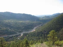
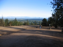
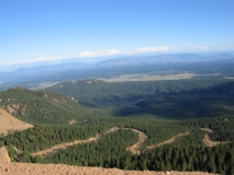
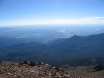
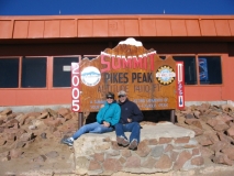
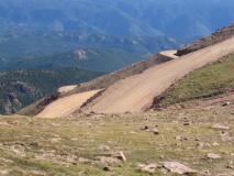
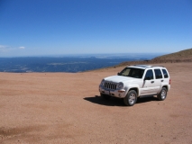
We woke early and the morning was crystal clear. Not wanting to squander a good opportunity, we hastily piled in the Jeep and headed for Pikes Peak.
For geographically challenged readers, Pikes Peak is a 14,110 foot mountain right on the eastern edge of the Rocky Mountains. The mountain is named after explorer Zebulon Pike, who first viewed the mountain from a distance. Of course the Indians had been climbing the mountain for generations as a religious ritual but whatever name they had for the mountain never stuck. Nevertheless, the endless vistas from the top attract a steady stream of visitors. The trick is to make the trip early enough to avoid the afternoon thunderstorms that roll through the area. One more thing, don’t forget your jacket. The temperature drops by 30 degrees at the top.
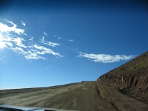
The road to the top starts at about 8,000 feet and climbs to 14,110 feet in about 16 miles. Most of the road is paved, but certain stretches close to the top are graded dirt. It is well maintained, but lacks basic safety features like guard rails, lane markings, signage, etc. You have to pay attention to what you are doing; one mistake and you plunge thousands of feet onto rocks below. This is no exaggeration. In fact, the road is so difficult to maintain, the US Forest Service contracts maintenance, which is supported by a hefty $10 per head fee. So, we paid our money and started up.
As the Jeep slowly lumbered toward the summit the we crossed to tree line and alpine vegetation took over. Close to the top, there was nothing but cold rocks, cold dirt and frozen trickles of water. The air temperature was 34 degrees and a wind was howling from the northwest. According to the pamphlet, at 14,000 feet, the oxygen content of the atmosphere is only 58% of normal at sea level.
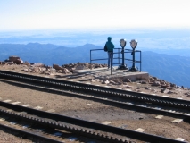
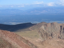
We must have spent about 90 minutes at the top. As promised, the views were spectacular. The longer you spend looking in one particular direction, the more detail you begin to notice. We could just make out downtown Denver about 60 miles distant. To the west you can see the continental divide. To the east is endless plains, all downhill to the Mississippi River. Finally, getting a little light-headed from the altitude, we started down.
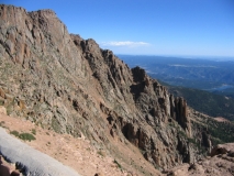
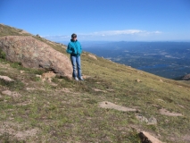
At about 13,000 feet, we stopped, found some boulders to shelter us from the wind and took in the view. Just 1,000 feet makes breathing a lot easier and we were able to linger here for a long time. After a while we could tell which drivers were freaked out by the road. Eventually, hunger and thirst drove us down the hill to civilization. I encourage readers to view the pictures that are part of this triplog.
What was left of the day was spent running errands and quietly reflecting on our morning mountain experience.
